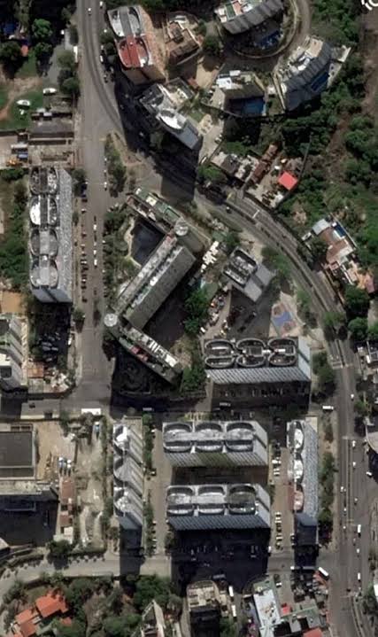
NASA Disaster Mapping: Uses satellite imagery and AI to rapidly identify damaged regions, blocked ro...
SCIENCE
July 08, 2026
How NASA, Microsoft, and the EU Are Using AI to Improve Earthquake Rescue Efforts in Venezuela
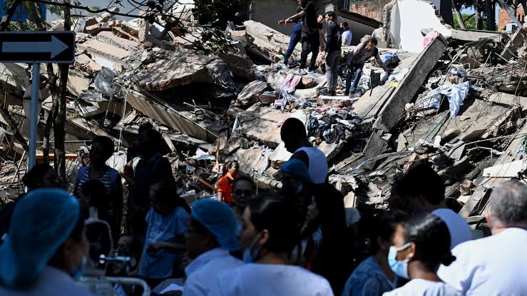
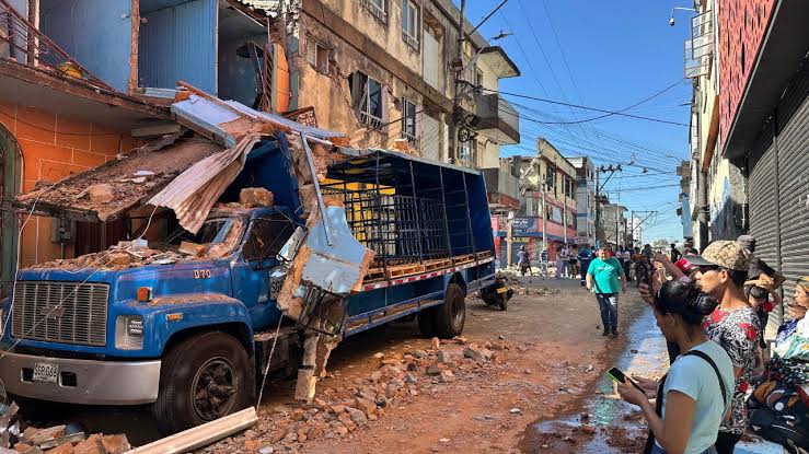
NASA Disaster Mapping: Uses satellite imagery and AI to rapidly identify damaged regions, blocked roads, and priority rescue zones after earthquakes.
NASA Disaster Mapping: Uses satellite imagery and AI to rapidly identify damaged regions, blocked roads, and priority rescue zones after earthquakes.
Author: Analytics Insight
Read Original Article